Home
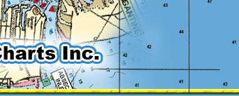
Port Charts offer the most comprehensive fishing
and diving charts available on the market. Covering
the waters of the East Coast from New York to North
Carolina and Central Florida to the Keys and Bahamas,
Home Port Charts show you more information than any
chart plotter can.
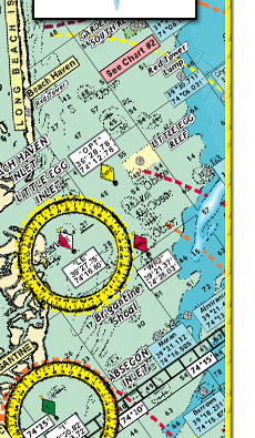
 Easy to read and understand, the laminated, colorful
Home Port Charts map out everything from shoals and
danger zones to bridges, depth contours, channels, underwater
canyons and fishing areas. Easy to read and understand, the laminated, colorful
Home Port Charts map out everything from shoals and
danger zones to bridges, depth contours, channels, underwater
canyons and fishing areas.
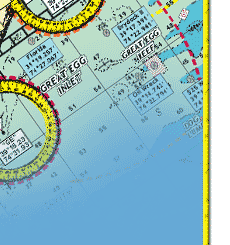
Home Port Charts descriptively map out oceans, rivers,
bay and intracoastal waterways (ICW). Great offshore
charts display awesome bottom structure and productive
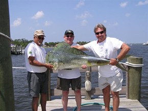
deep water fishing areas. The wildly popular swordfish
charts show the migration of the species including where
and when they travel through local waters. Our offshore
charts are very user-friendly and popular with the king
and dolphin fishermen. Some of our river charts display
never before charted rivers and are the only maps that
you will find these undiscovered waterways.
Whether you are bottom fishing, diving, trolling the
deep waters or navigating the skinny water, you can
count on the reliability and incredible accuracy of
Home Port Charts. With over 30 years of charting experience,
Home Port Charts are setting the standard for mapping
accuracy and excellence.
Dealer inquiries welcome.
|