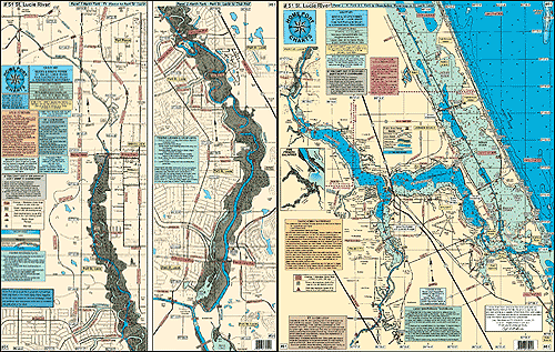
#51 ST. LUCIE RIVER
with THE WINDING NORTH FORK TO FT.PIERCE and the SOUTH FORK TO THE OKEECHOBEE WATERWAY and the ST. LUCIE LOCK
LOCAL KNOWLEDGE 'HOT SPOTS' AND FISHING GROUNDS
SHOWS:
Public boat ramps
Public parks
Bridges with their vertical clearance
Manatee Zones
Ambush zones with fish species shown
Red and Green markers shown through the waterway
Laminated
Great for Kayaking
Joins Chart
#45 Indian River
#36 Inshore Sebastian Inlet to Jupiter Inlet |